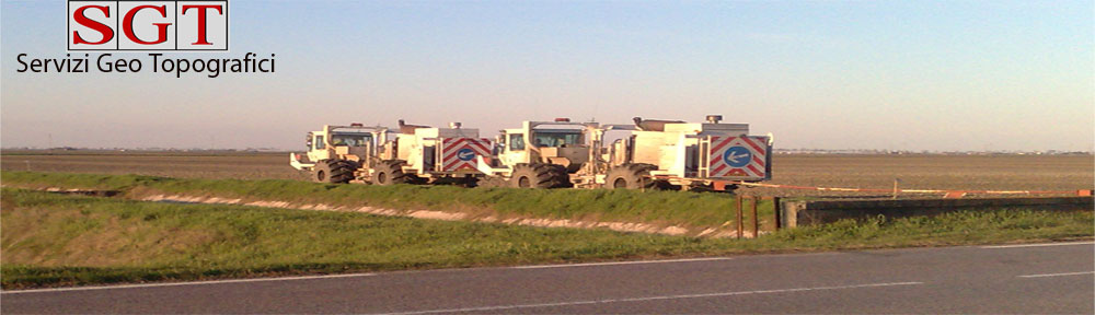
Scouting: reconnaissance of the permit area in order to verify the feasibility of the project. Checking on terrain, road networks, constraints, underground structures etc..;
Permitting: notification of landowners and public authorities in order to gain and/or regulate accesses. Acquisition of underground maps of pipes and cables networks. Evaluation of eventual damages and consequential reimbursement;
Surveying: preparation of geodetic networks and surveying of seismic lines 2D/3D;
Gis: production of landowners database with indications of every land parcels involved and relevant analysis. All of which supported by cadastral searches and the acquisition of data from public land registry;
Maps: production of operational maps according to Client requirements;
Drone: implementation of drone in scouting and survey activities with photography, mapping and video shooting.